Printable Tourist Map of Switzerland
Find reviewed sources for printable tourist map of switzerland, including printable map downloads, format notes, source quality, and licensing cautions.
Curated printable map guide
Printable Tourist Map of Switzerland
Find printable tourist maps of Switzerland for rail travel, regional planning, mountain trips, city orientation, and classroom geography. A useful Switzerland tourist map should help users connect Zurich, Geneva, Bern, Basel, Lucerne, Interlaken, the Alps, lakes, and rail routes.
Best map type
Tourist + rail
Best for most Switzerland trips.
Official map source
swisstopo
Best for precise geographic context.
Good formats
PDF / Web
Rail and official maps are often print-friendly.
Why this printable map is useful
Switzerland tourist maps are useful because travel often combines cities, lakes, mountain regions, rail routes, and multilingual regions. A printable map should make it easy to understand major cities, Alpine areas, scenic routes, and public transport connections.
Best pick for most users
SBB Maps and Downloads
Essential when a Switzerland tourist map needs rail and public-transport context, which is often more useful than roads for visitors.
View best sourceRecommended Switzerland map sources
Sources are sorted by likely usefulness, format hints, and source type. The strongest options usually match the page intent, use a print-friendly layout, and make the key labels easy to read.
SBB Maps and Downloads
sbb.ch
Essential when a Switzerland tourist map needs rail and public-transport context, which is often more useful than roads for visitors.
Swiss Federal Railways Network Maps
sbb.ch
Rail network maps are especially useful for tourists because many Switzerland trips are planned around trains and regional connections.
 Source preview
swisstopo Maps
swisstopo.admin.ch
The strongest official source for Swiss topographic and geographic map context, especially for mountains and precise reference.
More map sources
 Source preview
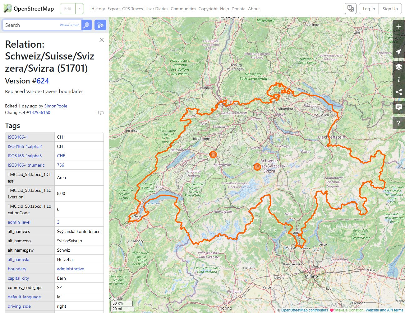
OpenStreetMap Switzerland
openstreetmap.org
Useful for custom travel views, city context, hiking areas, and local place lookup.
 Source preview
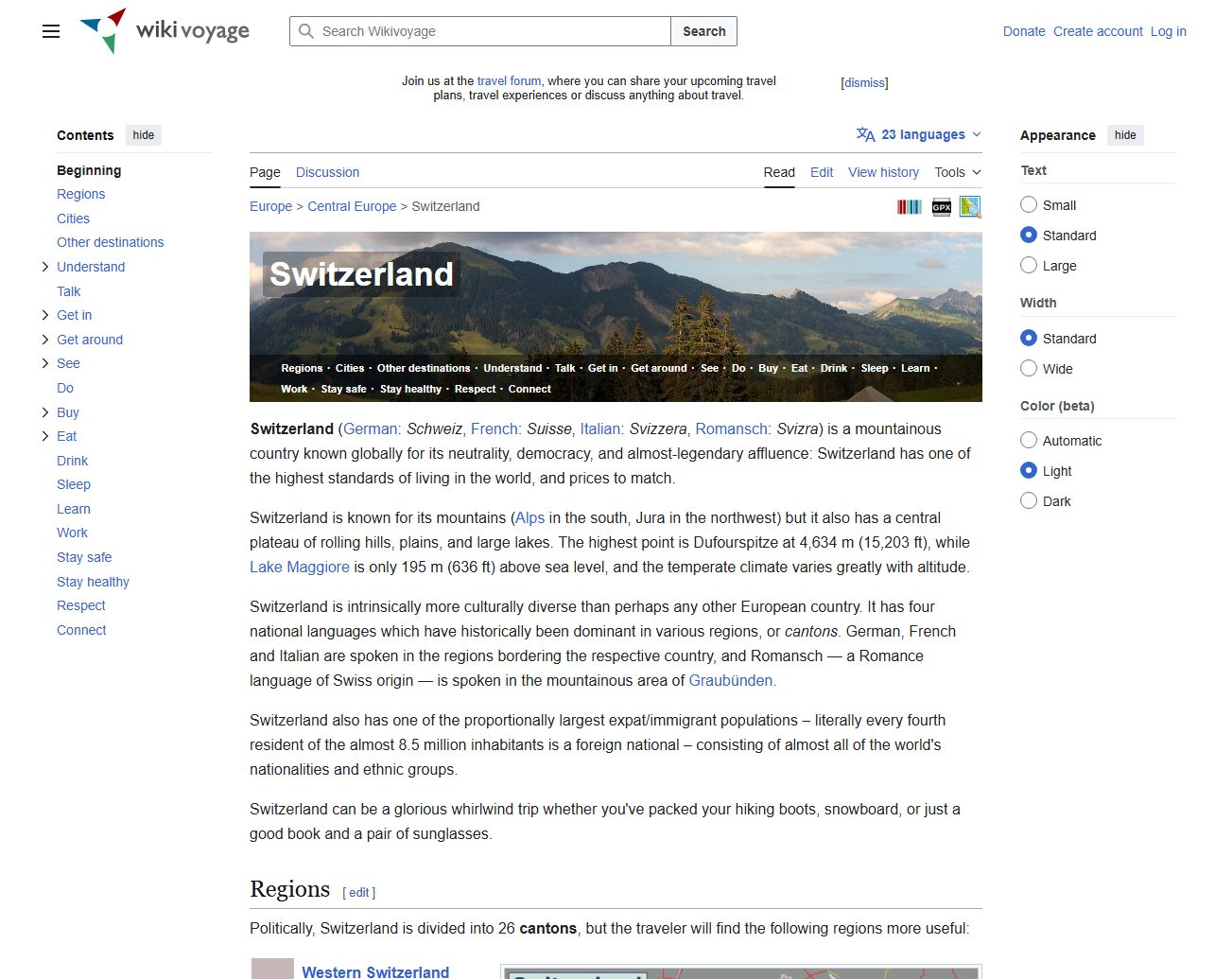
Wikivoyage Switzerland
wikivoyage.org
A practical travel reference for understanding Swiss regions, destinations, cities, and visitor context.
Switzerland Tourism Interactive Map
myswitzerland.com
A strong visitor-focused starting point for planning Swiss regions, attractions, destinations, and travel routes.
Switzerland - Wikipedia
en.wikipedia.org
A useful quick-reference page for country context, cantons, major cities, and general map images.
Switzerland map types to look for
Switzerland tourist map
Best for attractions, regions, cities, and visitor orientation.
Swiss rail map
Best for trip planning by train and public transport.
Topographic Switzerland map
Useful for mountain regions, hiking context, and precise geography.
Simple country map
Good for classroom use, quick reference, and presentations.
Quick comparison
| Source | Map type | Formats | Best for |
|---|---|---|---|
| SBB Maps and Downloads | Swiss rail and transport maps | Web, PDF | rail travel, public transport |
| Swiss Federal Railways Network Maps | rail network map | PDF, Web | rail network, visitor travel |
| swisstopo Maps | official Swiss topographic maps | Web | official maps, topographic context |
| OpenStreetMap Switzerland | editable Switzerland map reference | Web | custom map views, street context |
| Wikivoyage Switzerland | Switzerland travel reference map | Web, Image | visitor overview, regional planning |
| Switzerland Tourism Interactive Map | Switzerland tourist map | Web | tourist planning, regional orientation |
| Switzerland - Wikipedia | country reference map | Web, Image | general reference, quick verification |
How to choose the right tourist map
Choose a tourist map for attractions and regions, an SBB rail map for travel planning, and swisstopo for official geographic detail. For classroom or presentation use, a simpler country map may be clearer than a detailed topographic map.
Printing tips for Switzerland maps
- Print rail maps separately from tourist overview maps.
- Use PDF sources when available for clean station and route labels.
- For mountain trips, choose maps with relief or topographic context.
- For city trips, print city-specific maps in addition to a national overview.
- Check source terms before reusing tourist or official map images.
Source and licensing notes
These cards link to external map resources. Always check the original source before reusing a map in commercial projects, apps, printed products, or public materials. Classroom use, personal printing, and commercial reuse may have different license rules.
Related printable maps
FAQ
What is the best printable Switzerland map for tourists?
Most visitors benefit from a tourist overview map plus an SBB rail map. Switzerland travel often depends on train routes and regional connections.
Should I use a road map or rail map in Switzerland?
For many visitors, a rail map is more useful than a road map because major trips are commonly planned by train and public transport.
What official map source is best for Switzerland?
swisstopo is the main official source for Swiss topographic and geographic map context.
Can I reuse Switzerland tourist maps commercially?
Check the source license first. Tourism, transport, official, and open-reference maps can have different reuse and attribution rules.
Related guides
More useful articles from the Map Tools & Printable Maps topic.
- California Road Map Printable
Find reviewed sources for california road map printable, including printable map downloads, format notes, source quality, and licensing cautions.
- Florida County Map Printable
Find reviewed sources for florida county map printable, including printable map downloads, format notes, source quality, and licensing cautions.
- Printable Simple Map of London
Find reviewed sources for printable simple map of london, including printable map downloads, format notes, source quality, and licensing cautions.
- New York City Map Printable
Find reviewed sources for new york city map printable, including printable map downloads, format notes, source quality, and licensing cautions.
- North Carolina Map with Cities and Towns Printable
Find reviewed sources for north carolina map with cities and towns printable, including printable map downloads, format notes, source quality, and licensing cautions.
About MyGpsTools Editorial Team
MyGpsTools publishes practical guides about GPS apps, maps, navigation tools, EXIF photo metadata, satellite imagery, Android Auto, Apple CarPlay, ZIP code maps, and location-based technologies. We focus on clear instructions, practical checks, official documentation, and reader feedback.