North Carolina Map with Cities and Towns Printable
Find reviewed sources for north carolina map with cities and towns printable, including printable map downloads, format notes, source quality, and licensing cautions.
Curated printable map guide
North Carolina Map with Cities and Towns Printable
Find printable North Carolina maps with cities and towns, including sources for simple reference, travel planning, classroom use, and official map lookup. A city-and-town map helps connect Charlotte, Raleigh, Greensboro, Durham, Asheville, Wilmington, and smaller towns across the mountains, Piedmont, and coast.
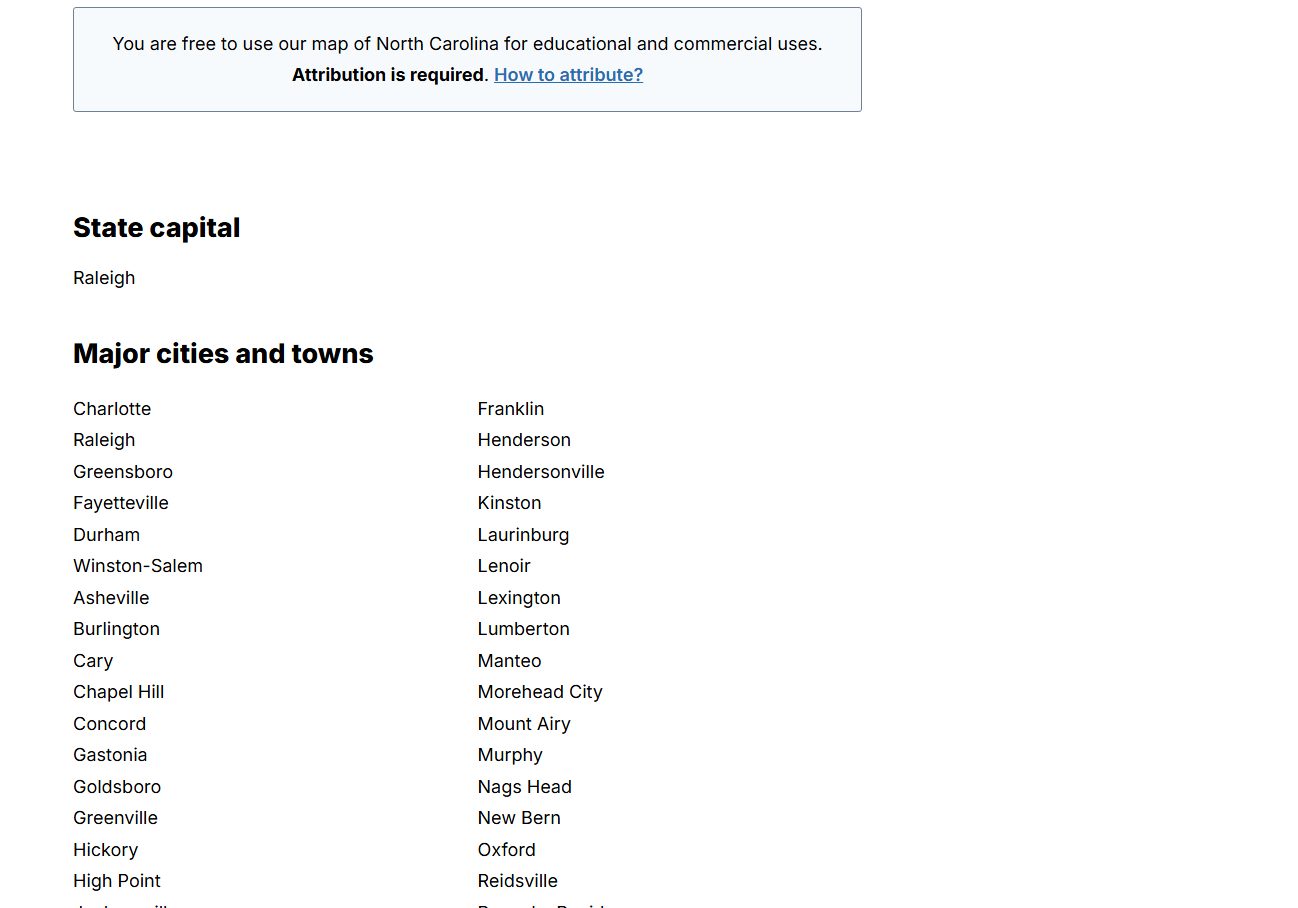
Capital
Raleigh
A key anchor point on most North Carolina maps.
Best map type
Cities + roads
Best for orientation and travel planning.
Good formats
PDF / PNG
PDF is usually better for printing.
Why this printable map is useful
North Carolina has distinct regions: the Appalachian mountains, the Piedmont, and the Atlantic coastal plain. A printable map with cities and towns is useful because it helps users see how major metro areas, coastal destinations, and mountain towns relate to each other.
Best pick for most users
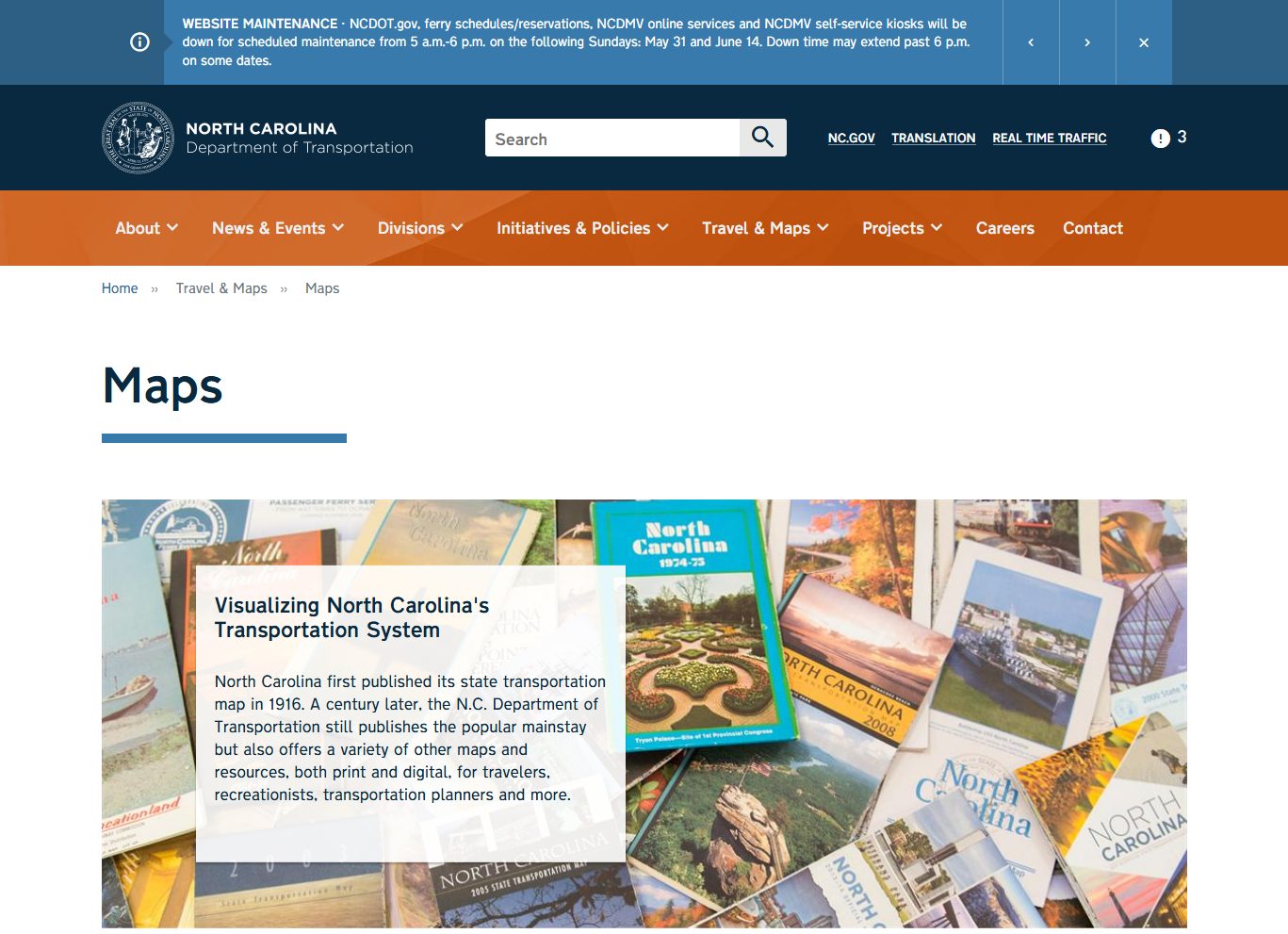
NCDOT State Transportation Map
NCDOT maps are a strong source when city and town locations need highway or travel context.
View best sourceRecommended North Carolina map sources
Sources are sorted by likely usefulness, format hints, and source type. The strongest options usually match the page intent, use a print-friendly layout, and make the key labels easy to read.
 Source preview
NCDOT State Transportation Map
ncdot.gov
NCDOT maps are a strong source when city and town locations need highway or travel context.
NC OneMap
nconemap.gov
NC OneMap is useful for more serious map research where official state geospatial data matters more than a simple printable handout.
North Carolina - OpenStreetMap
openstreetmap.org
OpenStreetMap is useful for creating custom views of cities, towns, roads, and local places across North Carolina.
More map sources
North Carolina - Wikipedia
en.wikipedia.org
A general reference page for checking major cities, state context, and map images before choosing a more print-focused source.
 Source preview
North Carolina Map - GISGeography
gisgeography.com
A clear North Carolina map resource for locating major cities and understanding the state layout from the mountains to the Piedmont and coast.
 Source preview
Geology.com North Carolina Cities Map
geology.com
A simple cities map that is useful when the main goal is locating cities and towns without the detail of a full road atlas.
Visit North Carolina Travel Maps
visitnc.com
A visitor-focused source that can help connect city and town locations with travel regions and destinations.
North Carolina map types to look for
North Carolina map with cities and towns
Best for locating major places and understanding regional layout.
North Carolina road map
Better for highways, routes, and driving context.
Blank North Carolina map
Useful for classroom labeling and custom projects.
Official GIS or NCDOT map
Best for accurate planning, data, or transportation reference.
Quick comparison
| Source | Map type | Formats | Best for |
|---|---|---|---|
| NCDOT State Transportation Map | North Carolina transportation maps | Web, PDF | official maps, road context |
| NC OneMap | North Carolina geospatial data | Web | official GIS data, boundary context |
| North Carolina - OpenStreetMap | editable state map reference | Web | open map data, custom views |
| North Carolina - Wikipedia | state reference map | Web, Image | quick verification, general reference |
| North Carolina Map - GISGeography | North Carolina map with cities | Web, Image | city lookup, classroom reference |
| Geology.com North Carolina Cities Map | North Carolina cities map | Web, Image | city names, quick reference |
| Visit North Carolina Travel Maps | visitor map context | Web | travel planning, visitor context |
How to choose the right map with cities and towns
Choose a cities-and-towns map when you need orientation and place lookup. Choose a road map when routes and driving matter. For classroom work, use a simpler labeled or blank map. For official planning or detailed data, use NCDOT or NC OneMap resources.
Printing tips for North Carolina maps
- Use landscape orientation for a better view from the mountains to the coast.
- Choose maps with readable labels for both large cities and smaller towns.
- For travel planning, prefer a map that includes highways.
- For classroom use, avoid maps with too many local roads.
- Preview coastal and mountain labels before printing on letter-size paper.
Source and licensing notes
These cards link to external map resources. Always check the original source before reusing a map in commercial projects, apps, printed products, or public materials. Classroom use, personal printing, and commercial reuse may have different license rules.
Related printable maps
FAQ
What should a North Carolina map with cities and towns show?
It should show major cities such as Charlotte, Raleigh, Greensboro, Durham, Asheville, and Wilmington, plus enough towns to make regional orientation useful.
Is a road map better than a city map?
A road map is better for driving and route planning. A city-and-town map is better for quick orientation and classroom or relocation reference.
What is the best printable format?
PDF is usually best for printing because labels and road lines stay sharper than in screenshots.
Can I reuse these maps in a guide or website?
Check each original source before reuse. Personal printing and commercial publishing are often treated differently.
Related guides
More useful articles from the Map Tools & Printable Maps topic.
- California Road Map Printable
Find reviewed sources for california road map printable, including printable map downloads, format notes, source quality, and licensing cautions.
- Florida County Map Printable
Find reviewed sources for florida county map printable, including printable map downloads, format notes, source quality, and licensing cautions.
- Printable Simple Map of London
Find reviewed sources for printable simple map of london, including printable map downloads, format notes, source quality, and licensing cautions.
- New York City Map Printable
Find reviewed sources for new york city map printable, including printable map downloads, format notes, source quality, and licensing cautions.
- Printable Map of Nova Scotia
Find reviewed sources for printable map of nova scotia, including printable map downloads, format notes, source quality, and licensing cautions.
About MyGpsTools Editorial Team
MyGpsTools publishes practical guides about GPS apps, maps, navigation tools, EXIF photo metadata, satellite imagery, Android Auto, Apple CarPlay, ZIP code maps, and location-based technologies. We focus on clear instructions, practical checks, official documentation, and reader feedback.