California Road Map Printable
Find reviewed sources for california road map printable, including printable map downloads, format notes, source quality, and licensing cautions.
Curated printable map guide
California Road Map Printable
Find printable California road maps and highway references for trip planning, classroom geography, relocation research, and statewide orientation. California is long and regionally diverse, so a useful road map should help users understand connections between Southern California, the Bay Area, the Central Valley, the Sierra Nevada, the coast, and Northern California.
Best map type
Road + cities
Best for route planning and statewide orientation.
Official source
Caltrans
Use official sources when highway accuracy matters.
Good formats
PDF / PNG
PDF is usually best for printing.
Why this printable map is useful
A California road map is useful because the state has major north-south routes, coastal highways, mountain passes, large metro regions, and long rural stretches. A good printable map helps users compare Los Angeles, San Diego, San Francisco, Sacramento, Fresno, and smaller regional destinations.
Best pick for most users
Caltrans Official Maps
Caltrans is the strongest starting point when you need official California road and highway map context rather than a decorative map image.
View best sourceRecommended California map sources
Sources are sorted by likely usefulness, format hints, and source type. The strongest options usually match the page intent, use a print-friendly layout, and make the key labels easy to read.
Caltrans Official Maps
dot.ca.gov
Caltrans is the strongest starting point when you need official California road and highway map context rather than a decorative map image.
 Source preview
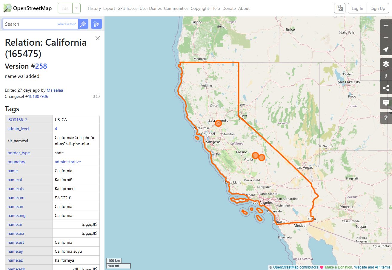
OpenStreetMap California
openstreetmap.org
OpenStreetMap is useful for custom views, local road detail, and checking route context beyond static printable maps.
California State Highway System - Wikipedia
en.wikipedia.org
A useful reference for understanding California state highway context and route naming before choosing a printable map.
More map sources
California Road Map - GISGeography
gisgeography.com
A clear statewide California road map resource for quickly seeing major routes and regional connections.
 Source preview
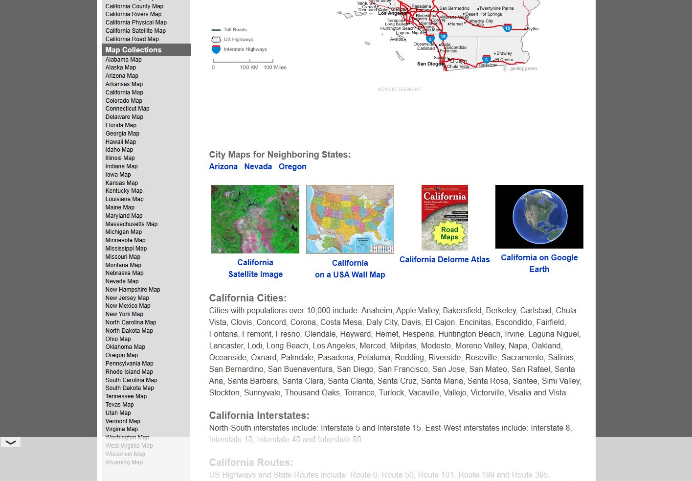
Geology.com California Cities Map
geology.com
Useful as a simpler companion to a dense road map when the main need is locating cities and understanding statewide orientation.
 Source preview
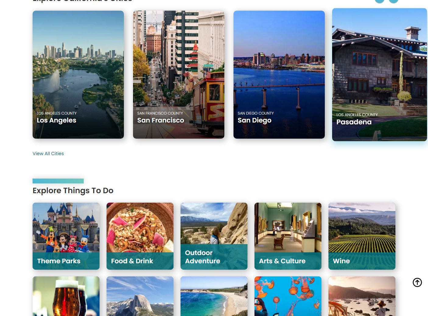
Visit California Maps
visitcalifornia.com
Visitor-focused resources can be helpful when a road map is being used for travel planning rather than formal highway reference.
MapChart California Map
mapchart.net
Useful for simple custom California maps when you need a presentation visual rather than a detailed road map.
California map types to look for
California highway map
Best for major interstates, state routes, and long-distance travel.
California road map with cities
Good for understanding city locations together with major routes.
Regional California travel map
Useful for trips focused on the coast, Bay Area, Southern California, or national parks.
Official Caltrans map
Best when route accuracy and official highway context matter.
Quick comparison
| Source | Map type | Formats | Best for |
|---|---|---|---|
| Caltrans Official Maps | California official road maps | Web, PDF | official highways, travel planning |
| OpenStreetMap California | editable road map reference | Web | open map data, custom map views |
| California State Highway System - Wikipedia | California highway reference | Web, Image | highway reference, verification |
| California Road Map - GISGeography | California road map | Web, Image | quick road overview, classroom reference |
| Geology.com California Cities Map | California cities and roads reference | Web, Image | city lookup, simple reference |
| Visit California Maps | California travel map context | Web | trip planning, visitor context |
| MapChart California Map | custom California map | Web, PNG | custom coloring, presentations |
How to choose the right road map
Choose an official Caltrans or highway map for route accuracy. Use a simpler road-and-city map for classroom use or quick orientation. For trip planning, pick a map that includes both highways and major destinations. For presentations, a simplified map may work better than a detailed road atlas.
Printing tips for California maps
- Use landscape orientation for statewide California maps.
- For road trips, choose a map that includes highways and major cities.
- For dense metro areas, print regional maps separately.
- Use PDF sources when highway labels need to stay sharp.
- Preview coastal and mountain areas before printing if route detail matters.
Source and licensing notes
These cards link to external map resources. Always check the original source before reusing a map in commercial projects, apps, printed products, or public materials. Classroom use, personal printing, and commercial reuse may have different license rules.
Related printable maps
FAQ
What should a printable California road map include?
It should include major highways, interstates, key cities, and enough regional context to understand travel across the coast, Central Valley, mountains, and major metro areas.
Is Caltrans the best source for California road maps?
Caltrans is the best starting point for official highway and transportation context. Simpler third-party maps may be better for classroom or presentation use.
Should I print one statewide map or regional maps?
Use one statewide map for overview. Print regional maps if you need readable detail around Los Angeles, the Bay Area, San Diego, or national park routes.
Can I use a California road map commercially?
Check the source license first. Official, open, and commercial map sources can have different rules for reuse, attribution, and modification.
Related guides
More useful articles from the Map Tools & Printable Maps topic.
- Florida County Map Printable
Find reviewed sources for florida county map printable, including printable map downloads, format notes, source quality, and licensing cautions.
- Printable Simple Map of London
Find reviewed sources for printable simple map of london, including printable map downloads, format notes, source quality, and licensing cautions.
- New York City Map Printable
Find reviewed sources for new york city map printable, including printable map downloads, format notes, source quality, and licensing cautions.
- North Carolina Map with Cities and Towns Printable
Find reviewed sources for north carolina map with cities and towns printable, including printable map downloads, format notes, source quality, and licensing cautions.
- Printable Map of Nova Scotia
Find reviewed sources for printable map of nova scotia, including printable map downloads, format notes, source quality, and licensing cautions.
About MyGpsTools Editorial Team
MyGpsTools publishes practical guides about GPS apps, maps, navigation tools, EXIF photo metadata, satellite imagery, Android Auto, Apple CarPlay, ZIP code maps, and location-based technologies. We focus on clear instructions, practical checks, official documentation, and reader feedback.