Printable Simple Map of London
Find reviewed sources for printable simple map of london, including printable map downloads, format notes, source quality, and licensing cautions.
Curated printable map guide
Printable Simple Map of London
Find simple printable maps of London for visitor planning, school geography, transport reference, borough orientation, and walking routes. London maps are most useful when they focus on one purpose: transport, attractions, boroughs, streets, or central walking areas.
Best map type
Simple visitor map
Best for first-time orientation.
Transport source
TfL
Use TfL for official transport maps.
Good formats
PDF / Web
PDF is usually best for printing.
Why this printable map is useful
A simple London map is useful because full street maps can become too dense when printed. Visitors often need a clear view of central areas, major landmarks, Tube lines, river crossings, and borough context rather than every street.
Best pick for most users
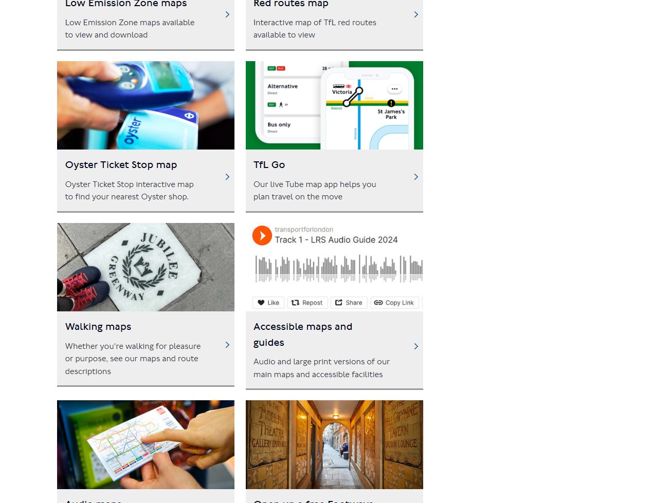
Transport for London Maps
TfL is the strongest source when a printable London map needs Underground, rail, bus, cycling, or transport context.
View best sourceRecommended London map sources
Sources are sorted by likely usefulness, format hints, and source type. The strongest options usually match the page intent, use a print-friendly layout, and make the key labels easy to read.
 Source preview
Transport for London Maps
tfl.gov.uk
TfL is the strongest source when a printable London map needs Underground, rail, bus, cycling, or transport context.
City of London Maps
cityoflondon.gov.uk
Useful for maps focused on the City of London, walking routes, and official local visitor context.
London Datastore
data.london.gov.uk
Useful when the map needs borough, data, or planning context rather than a tourist-style map.
More map sources
 Source preview
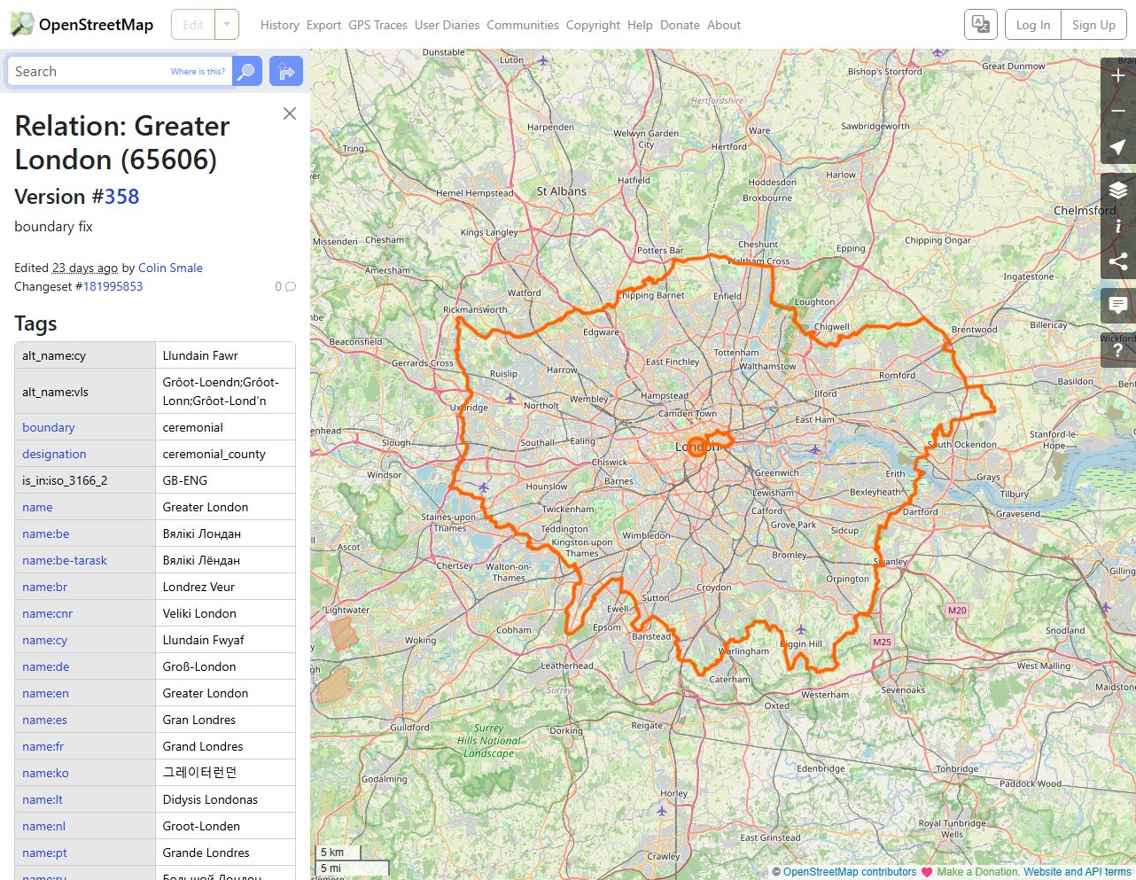
OpenStreetMap London
openstreetmap.org
OpenStreetMap is useful for custom street-level London views, especially when a simple static visitor map is not enough.
 Source preview
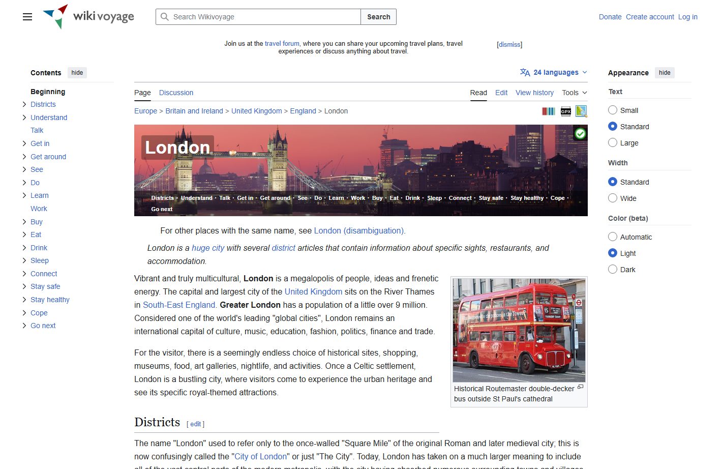
Wikivoyage London
wikivoyage.org
A practical open travel reference that helps connect London districts, visitor areas, and transport context.
Greater London - Wikipedia
en.wikipedia.org
A useful quick reference for Greater London geography, borough context, and regional orientation.
Visit London Maps and Guides
visitlondon.com
A visitor-focused source for simple London orientation, attractions, and getting-around context.
London map types to look for
Simple London visitor map
Best for attractions, central orientation, and first-time planning.
London transport map
Best for Tube, rail, bus, and public transport planning.
London borough map
Useful for administrative and classroom reference.
Central London walking map
Best for visitors focused on landmarks and short walking routes.
Quick comparison
| Source | Map type | Formats | Best for |
|---|---|---|---|
| Transport for London Maps | London transport maps | Web, PDF | tube map, public transport |
| City of London Maps | City of London maps | Web, PDF | central London, walking routes |
| London Datastore | London data and boundary resources | Web | official data, borough context |
| OpenStreetMap London | editable London map reference | Web | custom map views, street detail |
| Wikivoyage London | London travel reference map | Web, Image | travel overview, district context |
| Greater London - Wikipedia | London borough and regional map | Web, Image | borough reference, quick verification |
| Visit London Maps and Guides | London visitor maps | Web | tourism, attractions |
How to choose the right simple city map
Choose TfL maps for transport, a visitor map for attractions, and borough or data sources for administrative context. For printing, a simple map is usually better than a dense street map unless you need walking directions.
Printing tips for London maps
- Print the Tube map separately from a street or visitor map.
- Use central London maps for tourist routes rather than full Greater London maps.
- For classroom use, borough maps are often clearer than transport maps.
- Check whether landmark labels remain readable on A4 paper.
- Use official sources for current transport information.
Source and licensing notes
These cards link to external map resources. Always check the original source before reusing a map in commercial projects, apps, printed products, or public materials. Classroom use, personal printing, and commercial reuse may have different license rules.
Related printable maps
FAQ
What is the best simple printable map of London for visitors?
A visitor map with major landmarks plus a separate TfL transport map is usually better than one crowded all-purpose map.
Should I print a Tube map or a street map?
Print a Tube map for public transport and a street or visitor map for walking and attractions. They solve different problems.
Is a Greater London map useful for tourists?
It is useful for overall orientation, but most tourists need central London or transport-focused maps.
Can I reuse London map images in my own guide?
Check the original source license and attribution rules before reuse, especially for transport and official map designs.
Related guides
More useful articles from the Map Tools & Printable Maps topic.
- California Road Map Printable
Find reviewed sources for california road map printable, including printable map downloads, format notes, source quality, and licensing cautions.
- Florida County Map Printable
Find reviewed sources for florida county map printable, including printable map downloads, format notes, source quality, and licensing cautions.
- New York City Map Printable
Find reviewed sources for new york city map printable, including printable map downloads, format notes, source quality, and licensing cautions.
- North Carolina Map with Cities and Towns Printable
Find reviewed sources for north carolina map with cities and towns printable, including printable map downloads, format notes, source quality, and licensing cautions.
- Printable Map of Nova Scotia
Find reviewed sources for printable map of nova scotia, including printable map downloads, format notes, source quality, and licensing cautions.
About MyGpsTools Editorial Team
MyGpsTools publishes practical guides about GPS apps, maps, navigation tools, EXIF photo metadata, satellite imagery, Android Auto, Apple CarPlay, ZIP code maps, and location-based technologies. We focus on clear instructions, practical checks, official documentation, and reader feedback.