Best Garmin Hiking GPS Units - Handheld GPS Navigation Reviews 2025
Compare top Garmin handheld GPS units for hiking. Expert reviews of portable GPS devices with topographic mapping, waterproof design, and long battery life.
GPS apps, offline maps, hiking apps, driving apps, and navigation comparisons.
11 guides in this topic
Compare top Garmin handheld GPS units for hiking. Expert reviews of portable GPS devices with topographic mapping, waterproof design, and long battery life.
Discover the best walking apps in 2025. Complete guide to GPS navigation apps for walking directions, featuring top-rated apps for Android and iPhone users

Discover the top driving apps for Android that improve safety and navigation. From free driving apps to premium options, find the best apps for driving on your next road trip or daily commute.
Comprehensive guide to GPS navigation apps, offline mapping tools, and location-based technology for college students: campus navigation, study abroad programs, outdoor recreation, and field research applications.
Does GPS work without Wi-Fi or Internet? Does it use phone data when GPS is turned on? How does GPS work on iOS and Android phones? Learn how to achieve full-fledged GPS navigation without data
Discover the various tracking apps that can track down the location of your loved ones real time. Which of these tracking apps is more suitable for you?
Top GPS navigation apps for Lexus cars on iOS and Android. The compatibility of these apps with Lexus models and how to use them. How to connect Carplay to Lexus ES/NX/GX/IS/LS/UX/RC/LX/ LC. Using Lexus app
If you're looking for the best off-road GPS navigation apps for Android and iOS, we've got you covered

Best navigation apps for iOS / Android to travel in Canada. Offline maps, traffic information for Ontario, Quebec, Toronto, Montreal
If an application isn't working in a new country, try checking the app setting, network connection, or connecting to a VPN network
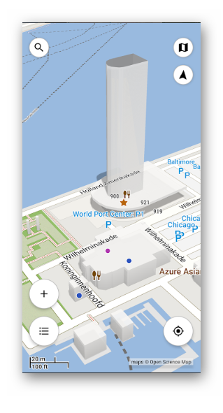
3D Compass Plus is a great helper for those who are going to visit an unfamiliar city or area. Users appreciate 3D Compass Plus simple interface and useful settings