San Bernardino ZIP Code Map
Search 15 San Bernardino ZIP codes by local area, San Bernardino County postal place, coordinates, and map direction. Includes printable maps for North, South, East, and West San Bernardino.
San Bernardino ZIP Codes at a Glance
San Bernardino, California has 15 ZIP code entries across San Bernardino County. Use this map to locate ZIP codes for mail delivery, address verification, and regional planning. Always verify exact addresses with USPS for accurate assignment.
About ZIP codes in San Bernardino
San Bernardino is the county seat of San Bernardino County and a major hub in the Inland Empire region. The city spans multiple postal zones serving downtown, residential neighborhoods, commercial districts, and industrial areas. ZIP code lookup is essential for mail routing, business registration, insurance quotes, and understanding service area boundaries. Because some ZIP codes share reference coordinates, this map is best used for general location reference rather than precise boundary mapping. Always verify your specific address with USPS for accurate postal assignment.
How to Use This ZIP Code Map
Click or zoom on the map to explore each ZIP code location. Use the table below to find specific ZIP codes and their coordinates. For exact address-to-ZIP assignment, enter your full street address into the USPS ZIP code lookup tool or contact your local post office.
Data quality note: Eight ZIP codes (92402, 92403, 92406, 92413, 92415, 92418, 92423, 92427) share the same source coordinate point. This reflects how postal data is centralized around service area reference points rather than precise boundaries. Actual delivery routes and service areas may differ. Use this map for general reference only.
San Bernardino ZIP Code Map
This map displays all 15 ZIP code entries for San Bernardino. Each point represents a postal service area. Note that some entries share coordinates due to how postal data is sourced and maintained by USPS.


Printable San Bernardino ZIP Code Map
Download or print this map for reference. Note that printed versions are static and may not reflect recent postal changes. Always verify current ZIP code information with USPS before relying on printed maps for mail delivery or business purposes.
San Bernardino ZIP Code Table
The table below lists all ZIP codes assigned to San Bernardino, along with their coordinates and county assignment. Use it to quickly find a specific ZIP or verify postal information for your address.
| ZIP Code | Postal place | County | Coordinates | Map |
|---|---|---|---|---|
| 92401 | San Bernardino | San Bernardino County | 34.1105, -117.2898 | GoogleWaze |
| 92402 | San Bernardino | San Bernardino County | 34.1083, -117.2898 | GoogleWaze |
| 92403 | San Bernardino | San Bernardino County | 34.1083, -117.2898 | GoogleWaze |
| 92404 | San Bernardino | San Bernardino County | 34.1426, -117.2606 | GoogleWaze |
| 92405 | San Bernardino | San Bernardino County | 34.1446, -117.3013 | GoogleWaze |
| 92406 | San Bernardino | San Bernardino County | 34.1083, -117.2898 | GoogleWaze |
| 92407 | San Bernardino | San Bernardino County | 34.2166, -117.3908 | GoogleWaze |
| 92408 | San Bernardino | San Bernardino County | 34.0831, -117.2711 | GoogleWaze |
| 92410 | San Bernardino | San Bernardino County | 34.1069, -117.2975 | GoogleWaze |
| 92411 | San Bernardino | San Bernardino County | 34.1214, -117.3172 | GoogleWaze |
| 92413 | San Bernardino | San Bernardino County | 34.1083, -117.2898 | GoogleWaze |
| 92415 | San Bernardino | San Bernardino County | 34.1083, -117.2898 | GoogleWaze |
| 92418 | San Bernardino | San Bernardino County | 34.1083, -117.2898 | GoogleWaze |
| 92423 | San Bernardino | San Bernardino County | 34.1083, -117.2898 | GoogleWaze |
| 92427 | San Bernardino | San Bernardino County | 34.1083, -117.2898 | GoogleWaze |
San Bernardino ZIP Codes by Local Area
San Bernardino's ZIP codes serve distinct geographic and functional areas across the city. Use these groupings to understand which postal zones serve your neighborhood or business location.
Downtown & Central San Bernardino
92401, 92410, 92418
Core city center and downtown postal zones. Includes government, commercial, and mixed-use areas in the heart of San Bernardino.
North San Bernardino
92404, 92407
Northern residential and commercial areas, including neighborhoods near the airport corridor and north-side business districts.
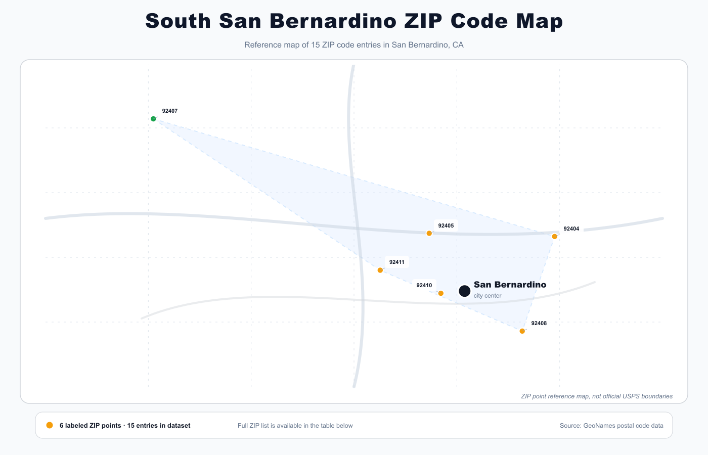
South San Bernardino
92408
South-central postal zone serving residential and commercial areas in the southern portions of the city.
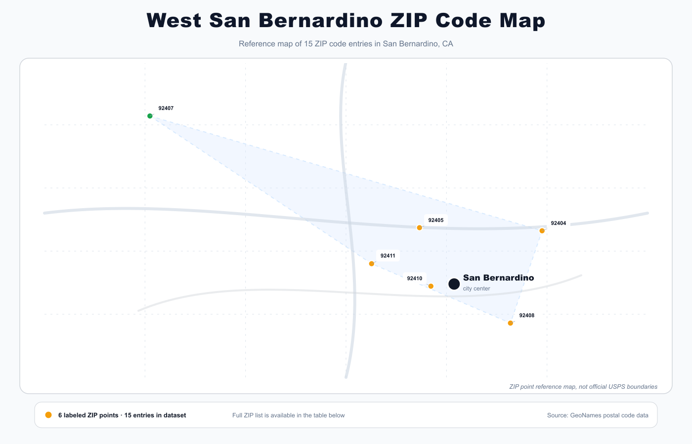
West San Bernardino
92405, 92411
West and west-central areas including residential neighborhoods and suburban-edge commercial zones.
Central Postal Zones
92402, 92403, 92406, 92413, 92415, 92423, 92427
Multiple overlapping postal service areas in central San Bernardino. These ZIP codes share reference coordinates and serve various delivery routes. Verify your exact address with USPS for precise assignment.
East San Bernardino
92427
Eastern postal zone serving east-side residential and industrial areas.
San Bernardino ZIP Codes by County
All 15 ZIP codes are located in San Bernardino County, which encompasses the Inland Empire and includes major cities like Ontario, Victorville, and Rancho Cucamonga.
San Bernardino County
92401, 92402, 92403, 92404, 92405, 92406, 92407, 92408, 92410, 92411, 92413, 92415, 92418, 92423, 92427
Nearby ZIP Code Maps
Nearby cities include Riverside (12 miles), Corona (23 miles), Temecula (43 miles), Palm Springs (48 miles), and Santa Monica (69 miles). Check those maps if you need ZIP codes for neighboring areas.
ZIP Codes vs ZCTAs
ZIP codes and ZCTAs (ZIP Code Tabulation Areas) are related but distinct. ZIP codes are USPS mail delivery routes; ZCTAs are Census Bureau geographic areas used for statistical data. This map shows postal ZIP codes, not Census ZCTAs. For demographic data, consult Census resources.
Frequently Asked Questions
How do I know which ZIP code applies to my San Bernardino address?
Enter your full street address into the USPS ZIP code lookup tool at usps.com or contact your local post office. This map shows all ZIP codes assigned to San Bernardino, but exact address-to-ZIP assignment requires verification. Addresses near ZIP boundaries may be assigned differently than expected.
What's the difference between a ZIP code and a ZCTA?
ZIP codes are USPS mail delivery routes designed for mail sorting and delivery. ZCTAs (ZIP Code Tabulation Areas) are Census Bureau geographic boundaries used for statistical and demographic data. They often overlap but serve different purposes. This map shows postal ZIP codes, not Census ZCTAs.
Why do some ZIP codes on this map share the same coordinates?
Multiple ZIP codes may share a source coordinate point because postal data is centralized around service area reference points rather than precise boundaries. This doesn't mean the ZIPs are identical—they serve different delivery routes. Use this map for general reference; for exact boundaries, contact USPS.
Can I use this map to find exact ZIP code boundaries?
No. This map shows ZIP code locations and reference points, not official boundaries. Postal boundaries are complex and maintained by USPS. For authoritative boundary information, use USPS resources or contact your local post office directly.
Is this an official USPS map?
No. This is a reference map based on postal data from GeoNames, US Census materials, and manual validation. It is not an official USPS product. For official ZIP code information and boundaries, visit usps.com or contact your local post office.
How current is this ZIP code data?
This data was last updated on May 26, 2026. Postal ZIP codes can change, and new codes may be added. If you notice outdated information, verify with USPS or contact us with the details.
Which ZIP codes serve downtown San Bernardino?
Downtown and central San Bernardino are primarily served by ZIP codes 92401, 92410, and 92418. However, exact assignment depends on your specific street address. Use USPS lookup or contact your post office to confirm.
What is the Inland Empire and how do San Bernardino ZIP codes fit in?
The Inland Empire is a major metropolitan region in Southern California centered on San Bernardino and Riverside counties. San Bernardino's 15 ZIP codes serve the county seat and surrounding areas. Nearby cities like Ontario, Victorville, and Rancho Cucamonga have their own separate ZIP code systems.
Data sources and methodology
Data sourced from GeoNames Postal Code Database, US Census ZCTA reference materials, and manual validation. Coordinates represent postal centroids or service area reference points, not official USPS boundaries. This is not an official USPS map. Boundaries shown are approximate and based on available postal data. For authoritative boundary information, contact USPS directly or use their official tools.
For exact mail delivery, always verify the final address and ZIP code with USPS or another official address source.
- GeoNames Postal Code Data
- US Census ZCTA reference
- Manual validation
Last updated: 2026-05-26
Related guides
More useful articles from the ZIP Code Maps & Local City Guides topic.
- Austin ZIP Code Map
Search 74 Austin, Texas ZIP codes by local area, Travis County postal place, coordinates, and map direction. Includes printable maps for North, South, East, and West Austin.
- Columbus ZIP Code Map
Search 45 Columbus, Ohio ZIP codes by local area, Franklin County postal place, ZIP type, or coordinates. Includes printable maps for North, South, East, and West Columbus.
- El Paso ZIP Code Map
Search 137 El Paso ZIP codes by local area, El Paso County postal place, coordinates, and map direction. Includes printable maps for North, South, East, and West El Paso.
- Fort Lauderdale ZIP Code Map
Search 47 Fort Lauderdale ZIP codes by local area, Broward County postal place, coordinates, and map direction. Includes printable maps for North, South, East, and West Fort Lauderdale.
- Fresno ZIP Code Map
Search 58 Fresno ZIP codes by local area, Fresno County postal place, coordinates, and map direction. Includes printable maps for North, South, East, and West Fresno.
About MyGpsTools Editorial Team
MyGpsTools publishes practical guides about GPS apps, maps, navigation tools, EXIF photo metadata, satellite imagery, Android Auto, Apple CarPlay, ZIP code maps, and location-based technologies. We focus on clear instructions, practical checks, official documentation, and reader feedback.