What speed does Google Maps use to calculate driving time and ETA?
Learn what Google Maps actually uses to estimate travel time, including speed limits, live traffic, GPS location, and route distance. See what affects ETA, what doesn’t, and how the speed limit feature works.
Google Maps does not base ETA on speed limits alone. It combines route distance, road data, traffic, your current location, and the speed it’s seeing as you move. In practice, the ETA is a moving estimate, not a fixed calculation.
If you’re trying to figure out why your arrival time changes mid-drive, that’s usually the reason. Traffic updates, rerouting, and your actual pace on the road matter more than the posted limit.
Quick Answer
Google Maps uses a mix of route distance, traffic data, GPS location, and current driving conditions to calculate ETA. Speed limits help inform the route, but they are not the only number used.
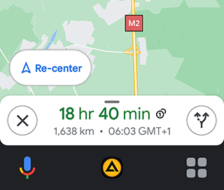
If you’re driving, the ETA can change as Google Maps sees new traffic conditions or notices that you’re moving faster or slower than expected. The app does not give you a manual setting for maximum speed. It can show speed limits and your current speed in navigation mode if that feature is enabled.
Table of contents
What Data Influences Google Maps ETA Calculation?
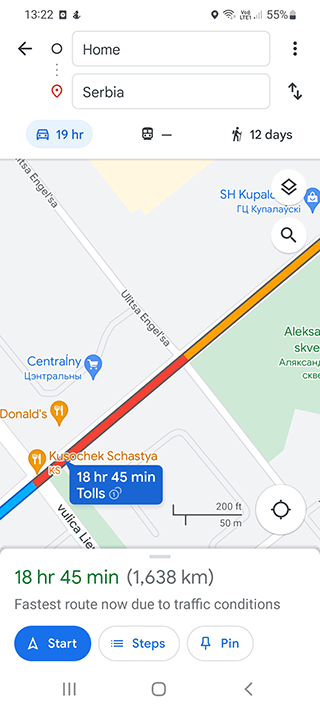
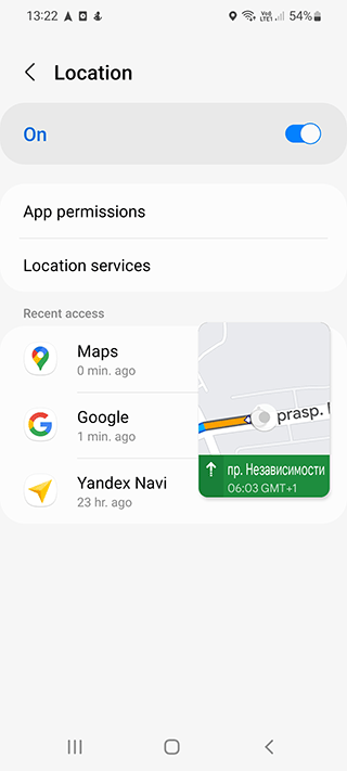
The main inputs are the distance of the route, traffic conditions, and how fast vehicles are typically moving on that road. Google Maps also uses your device location to keep the route and ETA updated while you drive.
In normal use, this means the app is not just looking at the signposted speed limit and doing basic math. It’s adjusting the estimate as conditions change.
Factors that can affect ETA include:
- The length of the route
- Live traffic conditions
- Road type and typical driving speeds
- Your current position and movement
- Stops, delays, and rerouting
The speed limit still matters, especially when Google Maps is building a route or warning about a road segment. But it’s only one part of the calculation.
Understanding ETA Calculation
ETA means estimated time of arrival. In Google Maps, that estimate is based on the route you’ve chosen and what the app expects traffic to do along that route.
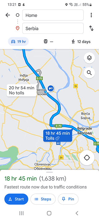
The result is usually close enough for everyday driving, but it’s still an estimate. If traffic clears, the ETA drops. If you hit congestion or a detour, it rises.
Other navigation apps, including Waze and Navitel, use their own traffic models and routing logic. They all do roughly the same job, but the inputs and updates aren’t identical.
Where Google Maps Gets Speed Information
Google doesn’t publish every detail of its routing system, so it’s better to be cautious here. In general, speed and traffic estimates can come from a mix of sources, including user location data, historical traffic patterns, road data, and other map inputs.
It’s not accurate to treat Google Maps as if it simply reads the speed limit sign and stops there. That would miss how much traffic and movement data changes the ETA during navigation.
The Google Maps app combines these signals to estimate how long a trip will take and how the route should change if conditions shift.
Impact of Current Driving Speed on ETA
This is where people usually notice the change. Your original ETA might drop or increase once you’re actually on the road.
That doesn’t necessarily mean the app is wrong. It usually means the route is being adjusted based on current movement, traffic, or a new route suggestion.
Google Maps uses your device’s location and movement to keep updating the trip. If you’re driving slower than expected, the ETA goes up. If you’re making good time, it comes down.
User Awareness of Speed Limits
Google Maps can show speed limits in navigation mode, but that’s a separate feature from ETA calculation.
When it’s enabled, the app may display a speedometer icon and the current road speed limit, often in the corner of the navigation screen. The online speedometer calculates the current speed using GPS satellites.
This is useful if you want a quick reminder of the posted limit while driving. It doesn’t mean Google Maps is using that limit as the only input for ETA.
Speed Calculation during Driving
While you’re moving, Google Maps can estimate speed from GPS-based location updates and the time it takes to cover distance. That’s part of how it keeps the ETA current.
The important thing is that this is an estimate, not a perfect readout of the road. GPS accuracy can vary slightly depending on the device, signal quality, tunnels, dense buildings, and the road layout.
Specifying Maximum Speed in the Google Maps App
Google Maps does not offer a built-in option to set your own maximum speed. If you want a navigation app with more driver-focused speed controls, you’ll need to look elsewhere.
For those specifically seeking this feature, TomTom is recommended over Google Maps.
How to Enable the Speed Limit Option on Google Maps?
For both Android and iOS users, follow these steps:
- Open the Google Maps app on your mobile device.
- Tap the profile icon to access the Settings menu.
- Navigate to Settings - Navigation settings.
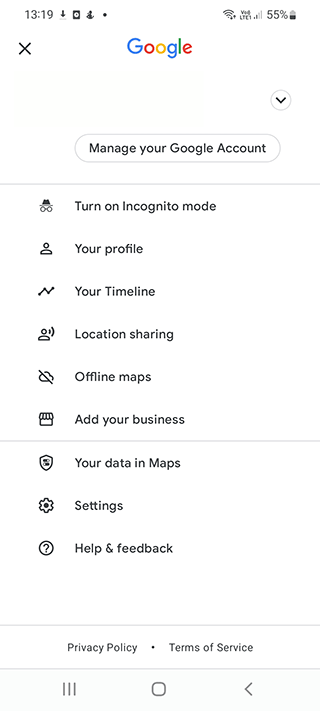
- Locate the Speed Limits option and activate it.
- A speedometer icon will now be visible on the Google Maps home screen.
If you don’t see the option, it may depend on your region, app version, or whether you’re using turn-by-turn navigation.
Understanding the Formula for Travel Time Calculation
A simple way to think about ETA is this:
average travel time = average distance ÷ average speed
That’s the basic idea, but Google Maps adds traffic, rerouting, and live movement data on top of it. So the result is more dynamic than the formula suggests.
Does Google Maps Factor in Your Speed for Time Calculation?
Yes. Your current speed is part of the picture, especially once navigation starts and the app can compare your movement against the route it planned.
But Google Maps is not only watching your speed. It’s also comparing that speed with traffic patterns, distance remaining, and the route ahead.
Speed Trap Notifications
In some regions, Google Maps can show speed camera or speed trap alerts during navigation. Availability varies by country and app version, and the feature isn’t the same everywhere.
To activate speed trap notifications:
- Access the settings of the navigator.
- Upon approaching a speed trap, Google Maps displays a notification and emits a sound signal, prompting the driver to reduce speed in time.
If you don’t see these alerts, it may simply not be supported in your area.
Handling Time Changes in Google Maps
Google Maps does not always handle time zone changes the way people expect. If a route crosses time zones, you may need to check the arrival time carefully rather than assuming it will adjust in a way that matches local time automatically.
According to Google's official response, estimated travel time does not adjust automatically with time changes. Users must manually calculate routes when crossing time zone boundaries. For intricate routes involving time changes, the Schedule Explorer proves beneficial. Users can visit Schedule Explorer, change the timezone, and create a new route.
That tool is not especially well known, and the setup can feel clumsy if you just want a quick answer.
Walking Speed Calculation
Google Maps usually estimates walking routes more simply than driving routes. Walking speed is more stable than car speed, so the ETA often changes less dramatically.
The average walking speed calculation is approximately 3-4 miles per hour, although terrain, stairs, weather, and crowds can change that quite a bit.
Adjusting for Time Changes in Google Maps
No automatic adjustments are made for time changes; users must manually update this information. The Schedule Explorer serves this purpose, allowing users to calculate routes that consider time changes. Access Schedule Explorer, modify the timezone, and create a new route.
Motorcycle and Car Driving Speed Calculation
Google Maps does not usually ask you to tell it whether you’re in a car or on a motorcycle just because you’re going fast. It estimates the trip based on the route, traffic, and movement data available to it.
If you’ve turned on speed-related alerts, the app may warn about speed cameras or show the current limit on some routes. That depends on region and settings more than on a hard cutoff like “50 km/h.”
FAQ
Does Google Maps use speed limits to calculate ETA?
Yes, but not by themselves. Speed limits are part of the route data, while traffic, distance, and your actual movement also affect ETA.
Why does Google Maps ETA change while I’m driving?
It changes when traffic updates, your speed changes, or the app reroutes you. That’s normal.
Can I set a maximum speed in Google Maps?
No. Google Maps doesn’t let you enter your own maximum speed.
Does Google Maps show speed limits while navigating?
In many regions, yes. You may need to turn the option on in Navigation settings, and availability can vary by country or app version.
Is Google Maps ETA always accurate?
No. It’s usually close, but traffic, road work, bad GPS signal, and detours can make it miss the mark.
Does Google Maps calculate walking ETA differently from driving ETA?
Yes. Walking routes usually rely on a steadier pace and are less affected by traffic, so the estimate tends to move less.
Why doesn’t Google Maps always adjust for time zones?
Crossing a time zone boundary can make arrival-time calculations less straightforward. In some cases, you may need to check the route manually or use a scheduling tool.
Related guides
More useful articles from the Google Maps Guides topic.
- Google Maps shows wrong current location: how to fix on Android and iOS
Fix Google Maps when your current location is wrong on Android or iPhone. Learn what causes GPS errors and what to check in location settings, permissions, Wi-Fi, and calibration.
- Google Maps location sharing: how to fix on iPhone / Android
If Google Maps location sharing says someone is offline or stops updating, this guide explains what usually causes it and what to check on iPhone and Android.
- How to Clear Google Maps Recent Searches from Search History
Learn how to delete recent searches from your Google Maps history on Android, iOS, or PC. Troubleshoot issues with Google Maps search history not deleting
- 3 ways to download an image via Google Maps
3 convenient ways how to download to your phone or computer an image stored on the Google Maps service.
- No sound on Google maps: how to fix on iPhone or Android
We will list all the problems with sound settings and show you how to fix them on iOS or Android
About MyGpsTools Editorial Team
MyGpsTools publishes practical guides about GPS apps, maps, navigation tools, EXIF photo metadata, satellite imagery, Android Auto, Apple CarPlay, ZIP code maps, and location-based technologies. We focus on clear instructions, practical checks, official documentation, and reader feedback.