- Published on
- Updated on
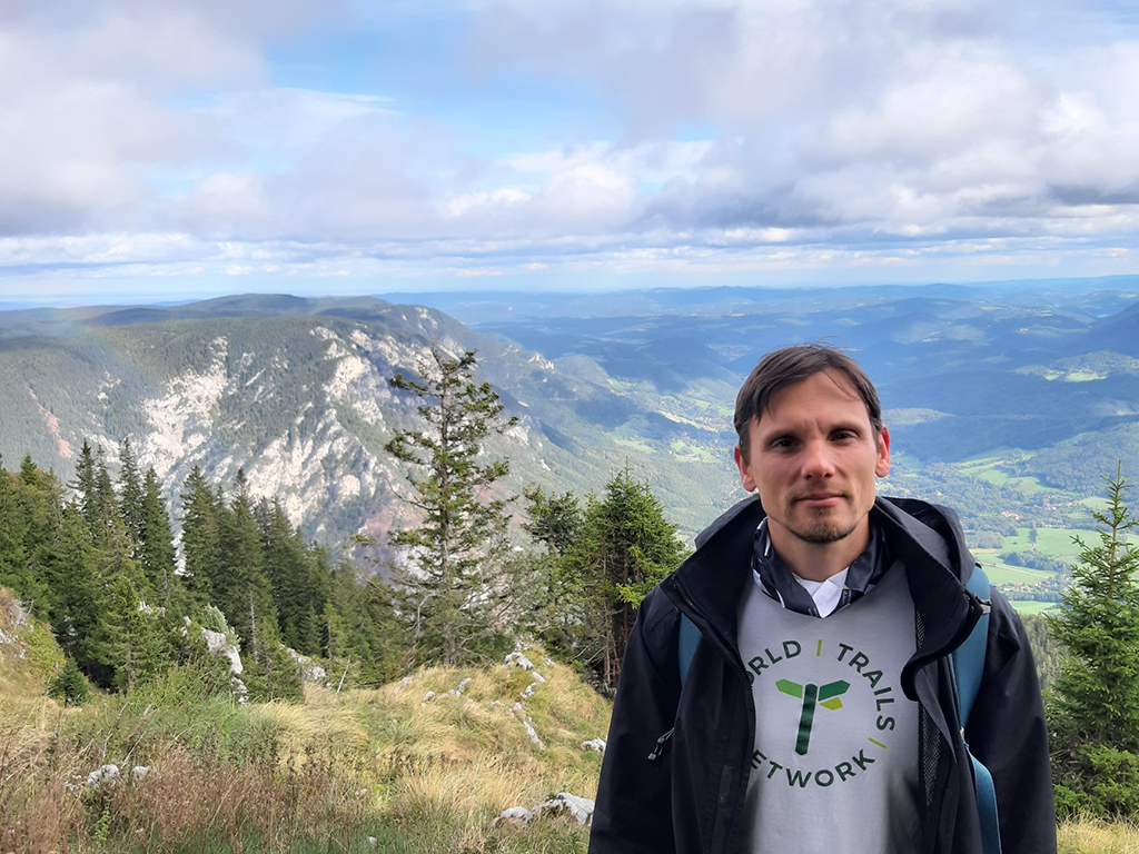
Interview with Andras J. Molnar
- Authors
András J. Molnár

When and why did you start hiking?
I was grown up in Budapest, the capital of Hungary. With our family, we used to go up to the nearby hills almost every week. Budapest is blessed with a surrounding on its west side with a lot of hills and nice forest, with a great network of hiking trails. So this is how it started. During school years we went with class, and later with friends. My family used to go for long holidays and we did go out hiking wherever the area was suitable. One of my best memories from school are the one or multi-day trips we took, mainly inside Hungary, but in the neighboring countries as well.
I started guiding in high school, we organized trips for friends and classmates, and right after school I completed the walking guide course. I studied computer science at university and later I did a PhD in the field, and as the Department of Cartography joined the Faculty of Informatics at our university, I had the opportunity to participate in the establishment of the joint academic curriculum in geographical information systems. I also took mountaineering courses and got an official tour guide certificate, started being interested in pilgrimages as well, and later, I studied theology and tourism.
Meanwhile, I assisted in trail marking and trail development works, and for a few years I became coordinator of an international pilgrimage network establishment, and a couple of years later, the responsible for the national hiking trail network at the Hungarian Hiking Federation. Currently I work part-time in IT research and development, and dedicate the rest of my time to trail-related projects, pilgrimage and community activities. I am the chair of the Viator Association for Hiking and Culture in Hungary, and I joined the World Trails Network in 2018, and became co-chair of the Trails & Sustainability Task Team, and more recently, the newly formed Trails & Knowledge Task Team.
What is your approach to hiking?
Well, I do like trails and trail systems very much. I like to combine my own hikes and rarely take a recommended trail tour as it is. This is one of the reasons I have not completed any of the official long distance trails, but rather, did sections of some of them. Although I had the opportunity to take multi-week pilgrimages (2 times in my life so far), I prefer short hikes, starting from a few hours to 3-4 days usually.
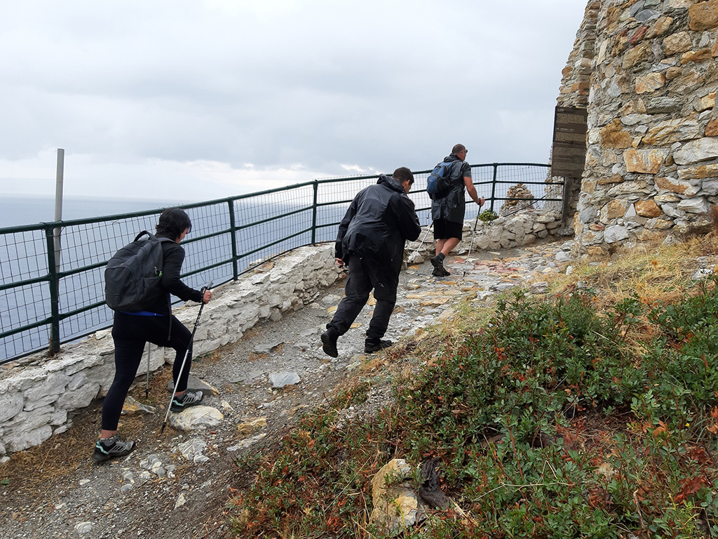
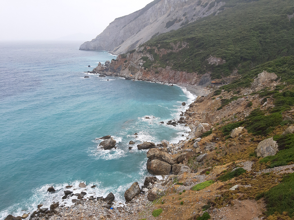
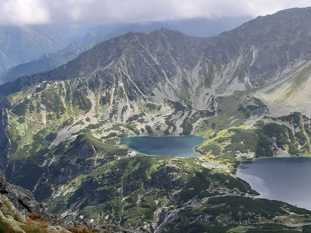
Most of the time I look for hiking trails in the area or nearby where I live or stay. Sometimes I travel specifically for hiking, but usually not only for that. I visited many parts of the Alps and the Carpathians in Central-Eastern Europe, some other areas of Germany, Slovenia, some trails in Greece, a part of the Camino de Santiago and other places in Europe, and more recently, I had the opportunity to hike in the United States, Costa Rica and Taiwan, mainly thanks to the invitations by friends and colleagues in the World Trails Network. I have organized many trips for friends and members of our hiking association, and also for guests.
Besides regular hiking trips I do organize and guide sacral and spiritual walks and events. I currently live in Esztergom, Hungary, which is on the border of 2 countries and very close to 3 different nature regions with many trails (Pilis, Börzsöny, Gerecse), and near to Budapest, which is a major transport hub and many different hiking areas can be reached in a few hours or in one day travel in multiple nearby countries. Whenever I visit someone or have somewhere to travel for any reason, I try to look for walks or trails in the area. Sometimes I add a few days to my stay and go for a longer hike. I do hike alone or with friends or small groups, sometimes I guide a larger group but I generally like the small group setting more. I have collected a lot of hiking maps (yes, I still like paper maps although I use digital tools as well), and I like to buy a map from every region I have been to, or wherever I would like to go in the future. I have many maps which are still waiting for visiting and exploring the area. I open the map, and try to look for interesting places, route combinations, and also how to approach the trails. When you look at a map carefully, you will immerse in the landscape and can imagine how things could look like there, you can more or less imagine the shape and layout of the mountains by reading the contour lines, etc. And then go and see in reality. I mostly prefer traveling by train, if possible, but sometimes only bus or car is an option. I look not only for natural places and areas but also cultural, historical, memorial sights. I like when nature and man-made heritage are in harmony, and both contribute to the genius loci - or better say, the spiritus loci, the spirit of the place.
What are your favorite apps you use for hiking? What features do you use most often?
As for a map, my favourite is the Mapy.cz. It is based on the OpenStreetMap community database, is simple, reliable, and the map has everything that a hiker needs, it looks quite nice, one can plan routes along marked trails and share planned routes, and it can be used offline. It is different from a usual raster-image-based web map which makes the user experience much better for me, although there are some aspects which are not perfect.
I also use Outdooractive for looking at recommended routes and places of interest. I also use a simple GPS tracker app just for recording tracks and points when we do trail work or planning. Of course, I like to check the weather, and check transport schedules and buy tickets through various apps.
And I also use Google Maps for checking transportation routes and specific places, and Booking.com for accommodation search. Our institute (SZTAKI) has also developed a city and outdoor audio guide, called GuideAtHand, and a recent development I am trying to contribute is the AR Trails. Some parks or regions have their own app for local content, which might be worth (or not) to use.
Do you use any GPS equipment for hiking?
Up until a few years ago I often used my old Garmin GPS Map 60CSx device, which I got more than 15 years ago and is still working fine. Recently I only use it when I need to track long routes or on a trip for multiple days instead of the phone whose battery is not reliable for long days, or in winter conditions when it is difficult to manage its touch screen with gloves.
Name 5 items you can't imagine hiking without
The 5 items will be headlamp, raincoat, water or tea, phone with offline downloaded maps, and a backpack.
If I go to more far away places I bring a compass, some food and a first-aid kit as well. I got used to traditional paper maps and I take a hiking map most of the time with me, too. I only switch on the location and check the position on the phone if I am in doubt where I am or which direction I have to go, or if I want to check how much I have left to go exactly.
Usually I follow the trail signs, waymarks, and use my map to orientate, and many times I check the phone map without enabling the position, to save battery.
If you are familiar with how to use a map, and you are attentive to the route you are and have been walked so far, most of the time you can know where you are without needing the GPS position.
What websites do you look at for information about the places you plan to explore?
I don't have a regular website to check. I just search on the internet and try to collect information from multiple sources, or take recommendations from others I know. Many times we go together with someone who knows the area or I know the area where I take my groups. Of course, checking actual conditions and weather, and refreshing the knowledge about specific places is required, but I cannot name any particular website I often use for that. And I still have guidebooks for some of the areas.
The problem of some of the trip recommendations or route planning functions of some platforms is that they do not always take into account local regulations and suggest routes which are not part of the official hiking network. And in some protected areas it is generally not allowed to step off trail or use non-designated paths, so one must check the information very carefully.
Another issue with web platforms is that they usually suggest places or routes which are already popular and become hotspots. On the contrary, if you have and can read a map, you may find hidden places which are not recommended so popularly and you will find your own way - sometimes you get what you expect or even more, sometimes the place is not as nice as you had imagined, but this is part of the story and the experience.
What adventures are you planning for the coming year?
I am still in the planning, but we already had a very beautiful winter trip with some friends at the end of January to Central Slovakia (the Low Tatras and the Kremnica Mountain Range). I plan to do short hikes (from a few hours to a day) as usual, in the area of Budapest and Esztergom, where I live.
We are planning some small group hikes with our hiking and pilgrimage association, including a meditative hike in complete silence in the spring, when flowers blossom. We have completed two thematic self-guided trail developments last year in Central Hungary and Central Transdanubia and we are planning to organize hikes along these (a wine route in the Gerecse area and a spiritual route in the Pilis area, in the footsteps of monks and hermits). And we have our annual hiking event in each October, the so-called Pálos 70, which is a 70 km sport hike with various sections available for participants with different needs and fitness level, along which volunteers serve the hikers at multiple spots.
We are just starting a development of a historical route near Székesfehérvár, commemorating St. Stephen the first Hungarian king and his family, which eventually will become a self-guided trail. We have got the permit, the plans and the material for building a missing trail section with wooden steps to one of the nice panoramic spots in the Gerecse Nature Park, and we will soon recruit volunteers for the actual making of the trail during the spring months.
I personally will be traveling to multiple places in and outside of Europe this year again, and I will seek hiking opportunities at those places as well, but the plans are not finalized yet.